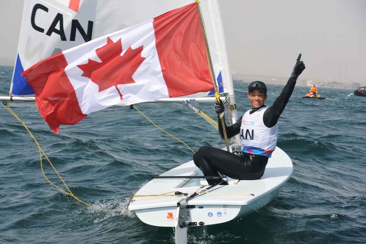
By Tom Peters

The redecking of the Macdonald Bridge over Halifax Harbour, a major project nicknamed ‘The Big Lift,’ has provided the Halifax Port Authority the opportunity to improve its predictive air gap capability, adding to the safety of vessels passing under the span.

The Big Lift involves replacing 46 suspended sections of the Macdonald Bridge plus raising the deck approximately 1.5 metres. The estimated cost of the construction portion of the project is $150 million with the Halifax Port Authority (HPA) covering the $1.5 million engineering cost required to raise the bridge the additional height.

With larger and sometimes taller vessels now calling the Port of Halifax and moving under the bridges, being able to accurately measure air gap, the distance from the underside of the bridge to the water surface, is vital. The very top of a ship must be a minimum of 1.35 metres below the bridge, and 1.5 metres in poor visibility.

The Halifax Port Authority has used GPS-based sensors on both bridges for some time, but the ‘Big Lift’ project provided the opportunity to work with new technology.

Jim Nicoll, Director of Information and Technology Services for the Halifax Port Authority, has been working closely with Halifax Harbour Bridges, the agency that oversees bridge operations, throughout the project. He said there were already devices in place to measure air gap, but the changing elevation of the bridge during the deck replacement phase added a new element that required a different approach. As each 20 metre deck segment was replaced, the geometry of the bridge changed partly due to the differences in construction and materials used to build the new segments. “Because this was such a dynamic thing, we had to make some innovative use of that technology,” said Nicoll. The solution was to install two microwave range finders. “We had one installed at the construction face where old and new segments were joined together. It moved each time a segment was replaced, and that point was always the lowest point of the bridge, so that gave us a direct measurement of the lowest point.”

“We installed the second one so we had a measurement of air gap at another point across the span. We also installed radar water level sensors to measure tide level,” explained Nicoll. The three sensors working together provided the HPA with very accurate information on the elevation of the bridge in real time. At the same time, Halifax Harbour Bridges (HHB) developed a mathematical model which predicted the bridge elevation across the span each time a segment was replaced.

“So we developed software that took all the readings we had and displayed them on a dashboard,” said Nicoll. HPA also incorporated the information provided by the HHB model to create “a more accurate predictive model of what the elevation was at each point we measured across the span at any point in time.”

Nicoll said the equipment first installed by HPA was temporary, but because the deck replacement over the harbour’s main navigational channel is essentially complete, the Port Authority is now moving those devices to permanent locations. “One will be installed at mid- span and the other installed at the east edge of navigational channel,” said Nicoll. “The software we developed will be refined to provide us with a predictive air gap capability. So if we know a vessel is coming at a particular time on a particular day we will be able to determine from tide tables what the tide level will be and predict what our air gap will be.”

The HPA has also put in place a network of weather stations, primarily anemometers for wind speed and direction to assist with navigation under the bridges and through the harbour narrows. “Our hope is to be able to broadcast the air gap at the mid-span of the bridges and the various anemometer readings directly to ships through a virtual aid to navigation beacon,” said Nicoll. “It will certainly provide us with the predictive capability which will allow vessel planners to coordinate their traffic with optimum periods for entering the harbour.”